San Bernardino Mountain Town
Welcome to Twin Peaks, an unincorporated San Bernardino County community in the heart of the San Bernardino Mountains near Lake Arrowhead.
Twin Peaks is an unincorporated community in San Bernardino County, California, located in the heart of the San Bernardino Mountains. The community sits within the broader Lake Arrowhead census-designated place and along California State Route 189, the road that runs through the area before reaching Lake Arrowhead. With a population of roughly 2,250, Twin Peaks is one of several mountain communities, along with Crestline, Lake Arrowhead, and Running Springs, that occupy the forested slopes east of the San Bernardino Valley. The community's identity is tied to the San Bernardino National Forest and the recreational landscape that surrounds it. The mountains offer a four-season climate, with snow in winter and cooler summers than the valleys below, and Twin Peaks has long served as a residential and vacation destination for the greater Los Angeles and Inland Empire regions. A mix of full-time residents and seasonal homeowners shapes the community's character. State Route 189 provides the community's main connection through the mountains, linking Twin Peaks to Lake Arrowhead and the other mountain towns, while the larger mountain highways descend to the San Bernardino Valley and the cities below. This geography gives residents access to both the quiet of the forest and the employment and services of the lowlands. Students in the area are served by the Rim of the World Unified School District, which covers the mountain communities. Today Twin Peaks functions as a small, unincorporated mountain community defined by its forest setting, its proximity to Lake Arrowhead, and the outdoor recreation that draws people to the San Bernardino Mountains throughout the year.
Twin Peaks is in San Bernardino County, California, in the San Bernardino Mountains. The unincorporated community sits within the broader Lake Arrowhead region, near Crestline and Running Springs, east of the San Bernardino Valley.
Twin Peaks is an unincorporated community within the Lake Arrowhead CDP, part of the San Bernardino County mountain communities. California State Route 189 runs through the area before reaching Lake Arrowhead.
Twin Peaks has a population of roughly 2,250 residents. It is a small mountain community with a mix of full-time residents and seasonal homeowners in the San Bernardino Mountains, within the Lake Arrowhead CDP.
Twin Peaks sits within the San Bernardino National Forest, offering hiking, snow play, and lakeside recreation. Nearby Lake Arrowhead and Lake Gregory provide boating and fishing, and mountain ski areas are a short drive away.
City Guide
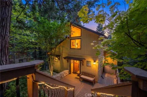
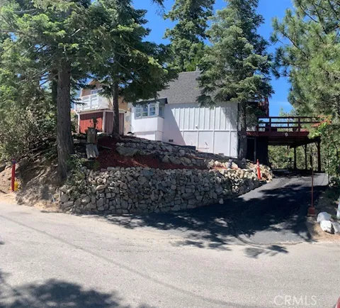
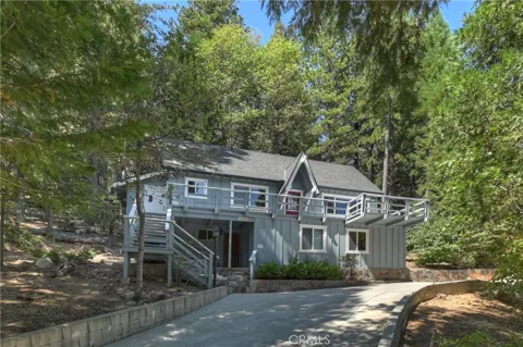
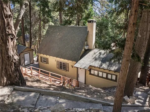
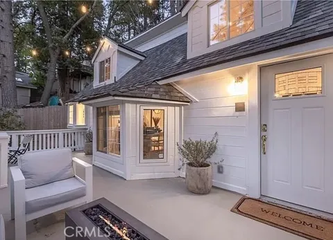
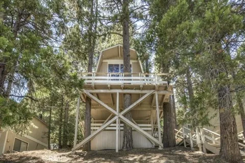
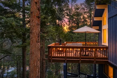
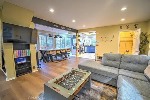
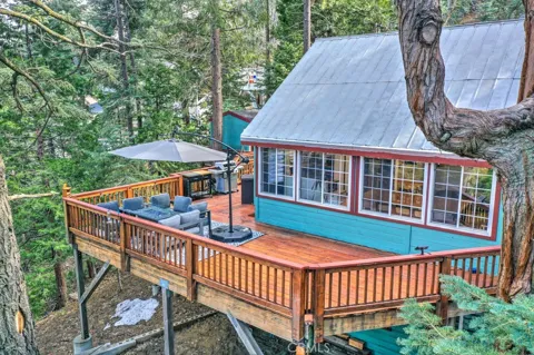
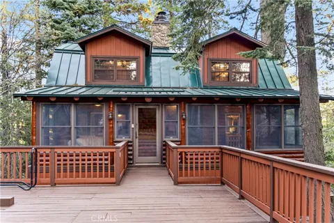
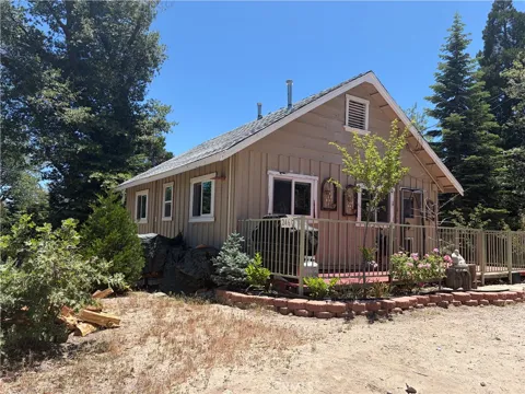
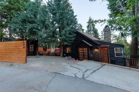
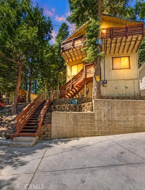
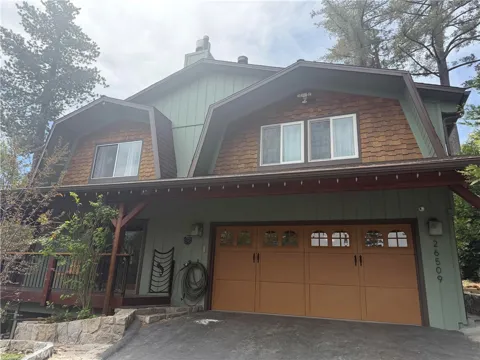
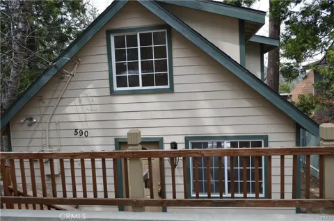
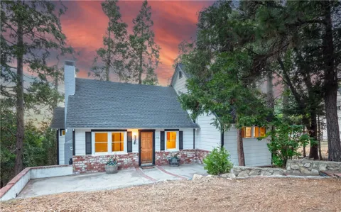
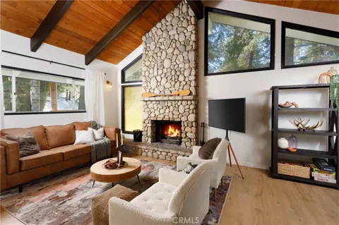
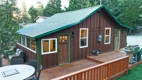
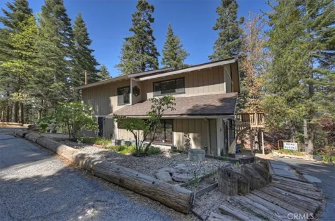
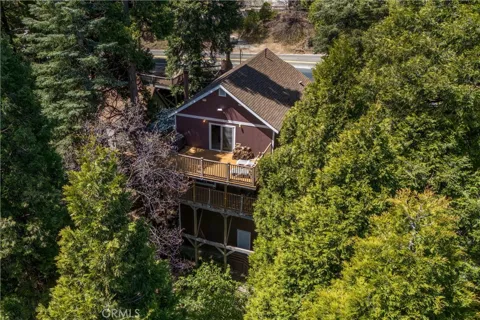
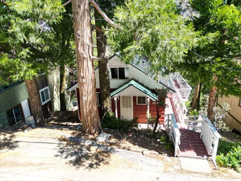
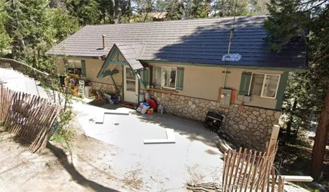
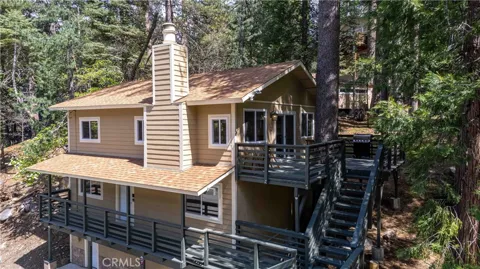
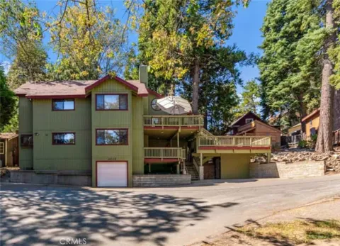
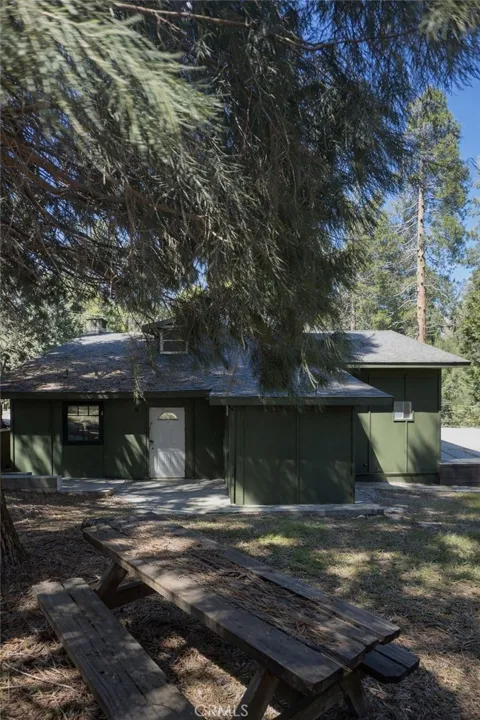
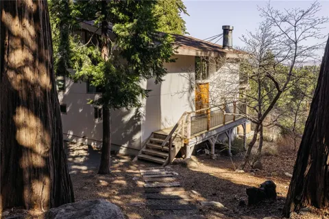
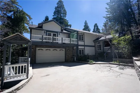
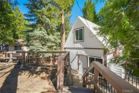
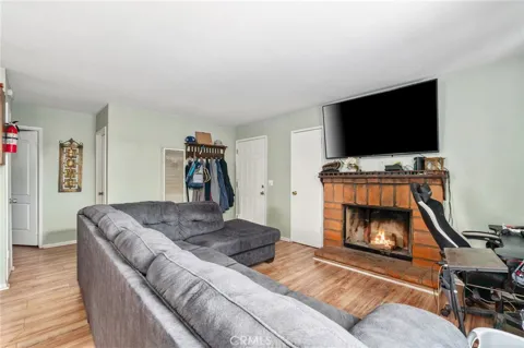
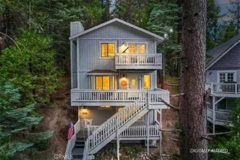
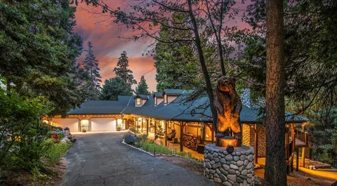
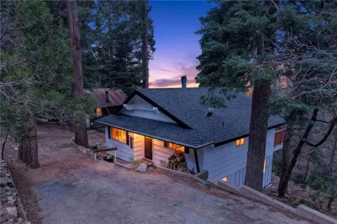
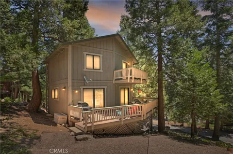
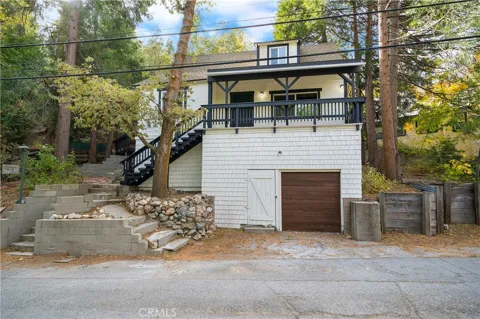
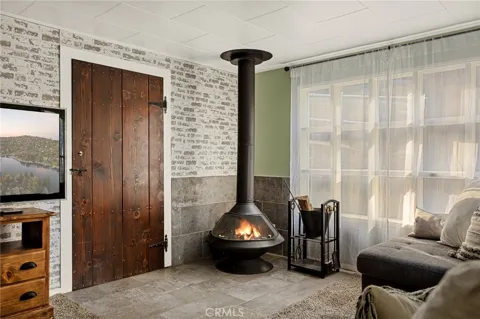
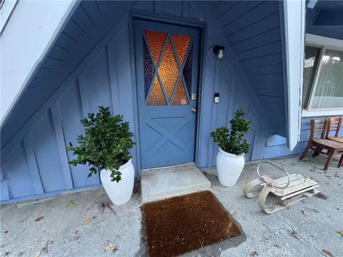
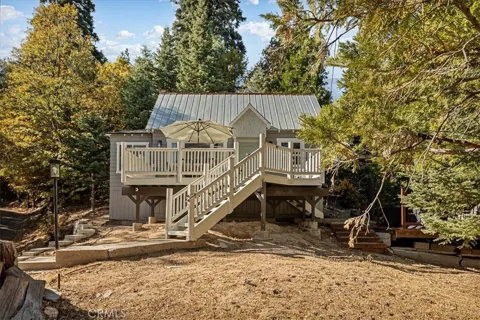
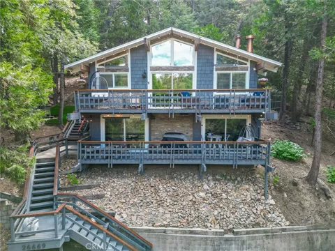
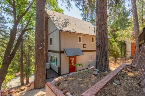
Twin Peaks' housing stock reflects its role as a mountain residential and recreation community. The area offers a mix of cabins, mountain homes, and larger forested parcels, with many properties serving as seasonal getaways as well as year-round residences. Its location in the San Bernardino Mountains, near Lake Arrowhead and within the national forest, supports demand from buyers seeking cooler climates, forest views, and outdoor access. The community's unincorporated, wooded setting gives it a distinctly different housing character from the valleys below.
Twin Peaks is a small unincorporated community within the broader Lake Arrowhead CDP, rather than a city with formal neighborhood districts. Residences are spread along State Route 189 and the surrounding mountain roads, interspersed with forest. The community sits near Crestline, Lake Arrowhead, and Running Springs, which together form the interconnected mountain region of the San Bernardino Mountains. Its location on the route to Lake Arrowhead keeps it closely tied to the lakeside communities nearby.
Life in Twin Peaks is defined by the four seasons and forest setting of the San Bernardino Mountains. Residents enjoy a mountain lifestyle with access to hiking, snow play, and lakeside recreation, while the community retains a quiet, small-town character removed from the urban valleys below. A mix of full-time residents and seasonal homeowners gives the area a relaxed, outdoors-oriented rhythm. Nearby Crestline and Lake Arrowhead provide shopping, dining, and services, and the surrounding national forest offers year-round recreation.
Students in Twin Peaks are served by the Rim of the World Unified School District, which covers the San Bernardino mountain communities including Lake Arrowhead, Crestline, and Running Springs. The district provides education from the elementary grades through high school and is a central institution across the mountain region. Its schools serve a population spread across the forested communities, with campuses located within a short drive of Twin Peaks.
Twin Peaks is reached primarily by automobile via California State Route 189, which runs through the community toward Lake Arrowhead, and the connecting mountain highways that descend to the San Bernardino Valley. The winding mountain roads are the area's main transportation corridors, linking the mountain communities to the cities below. Daily travel is by car, and the community's elevation and forest setting mean seasonal weather can affect driving conditions in winter.
Recreation in Twin Peaks is anchored by the San Bernardino National Forest. Hiking trails, snow play areas, and forest roads surround the community, and nearby Lake Arrowhead and Lake Gregory offer boating, fishing, and lakeside recreation. Mountain ski areas are a short drive away in winter, while summer brings camping, mountain biking, and scenic drives along the Rim of the World. The community's location in the heart of the mountains places outdoor recreation at the center of local life.
MARKET SNAPSHOT
How homes have been selling here over the last 90 days.
Market data reflects closed sales over the last 90 days and is provided for informational purposes.
BROWSE BY ZIP
Browse listings by postal code in this area.