Butte County Seat on the Feather River
Welcome to Oroville, the Butte County seat set along the Feather River at the foot of the Sierra Nevada, home to the tallest dam in the United States.
Oroville sits in Butte County, California, in the northern Sacramento Valley, along the Feather River at the foot of the Sierra Nevada. It is the county seat, a role it has held since 1856, and lies about 75 miles north of Sacramento. Its population is about 20,000. The city's name tells its origin story: "Oro," Spanish for gold, combined with "Ville," French for town. Oroville grew out of the Gold Rush as the head of navigation on the Feather River, a supply hub for miners after gold was discovered at nearby Bidwell Bar. That mining boom drew railroads and industry, and the town matured into the seat of Butte County. Its Gold Rush and river heritage is still visible in the historic downtown built around the courthouse. Modern Oroville is defined by water and infrastructure. Just northeast of the city, Oroville Dam — at 770 feet the tallest dam in the United States — impounds Lake Oroville, California's second-largest reservoir and a centerpiece of the State Water Project. The lake and its more than 167 miles of shoreline anchor recreation, drawing boaters, anglers, and campers from across the region, while the Thermalito Afterbay adds further water-based recreation. Education is provided by the Oroville Union High School District, which serves about 2,200 secondary students, along with local elementary districts and Butte College for higher education. State Route 70, the "Feather River Highway," runs through the city and climbs the scenic Feather River Canyon toward the Sierra's east side. Oroville suits households seeking an affordable, historically rooted county-seat town with strong access to lake, river, and foothill recreation in Northern California.
Oroville is located in Butte County, California, and serves as the county seat. It lies along the Feather River at the foot of the Sierra Nevada, in the Sacramento Valley about 75 miles north of Sacramento.
The name Oroville combines the Spanish word "oro" (gold) with the French "ville" (town), meaning roughly "gold town." The name reflects the city's origins as a Gold Rush supply center on the Feather River.
Oroville is best known for Lake Oroville and the Oroville Dam, the tallest dam in the United States at 770 feet. The lake is California's second-largest reservoir, with more than 167 miles of shoreline for boating, fishing, and camping.
Oroville is about 75 miles north of Sacramento, at the northern end of the Sacramento Valley. State Route 70 runs through the city and continues northeast through the Feather River Canyon toward Quincy and the Nevada border.
Secondary students in Oroville attend the Oroville Union High School District, which serves about 2,200 students in the greater Oroville area. Younger students are served by elementary school districts within the city and surrounding communities.
City Guide
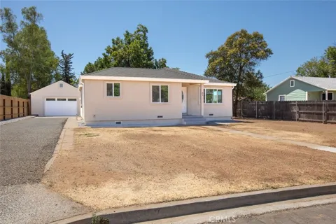
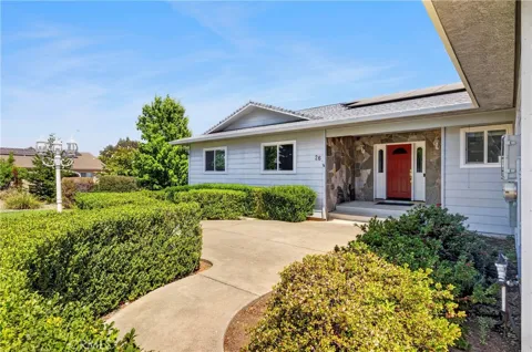
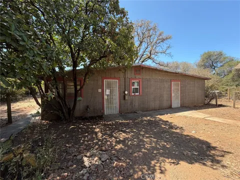
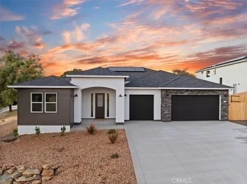
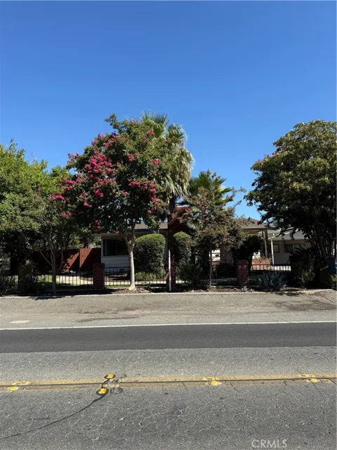
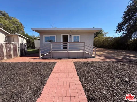
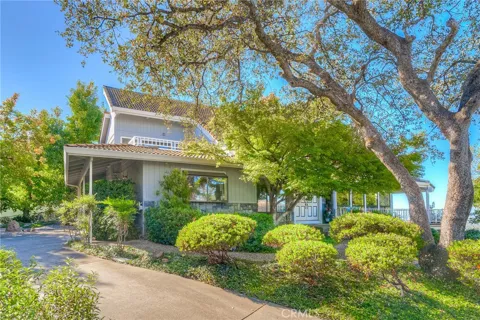
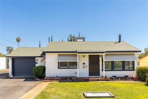
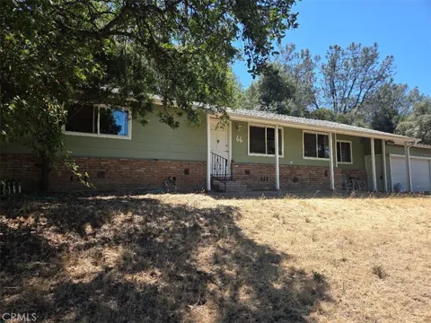
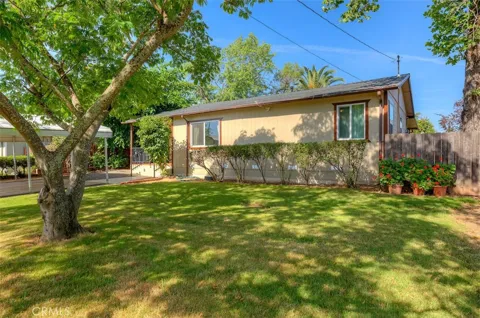
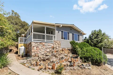
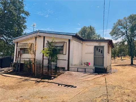
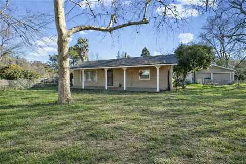
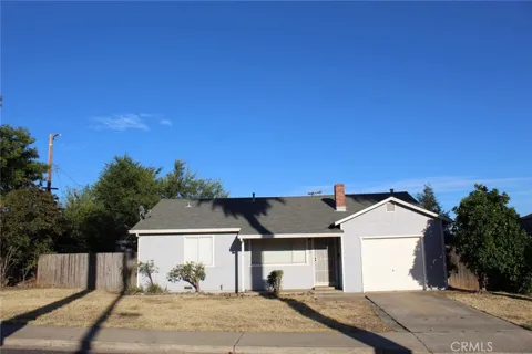
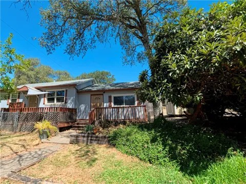
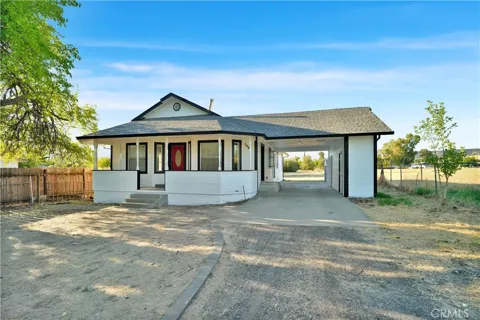
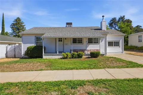
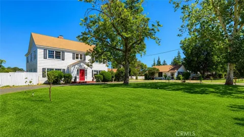
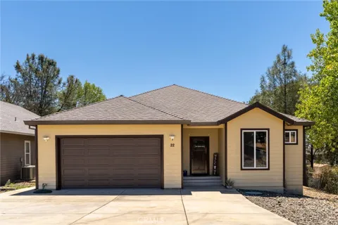
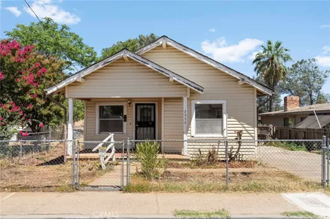
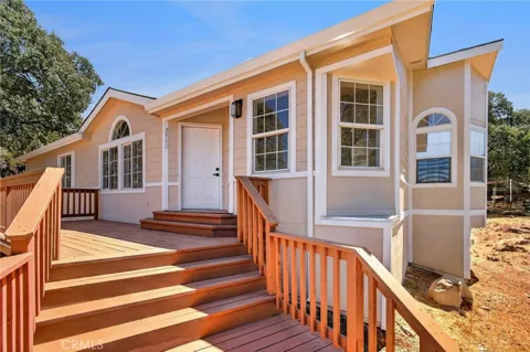
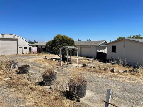
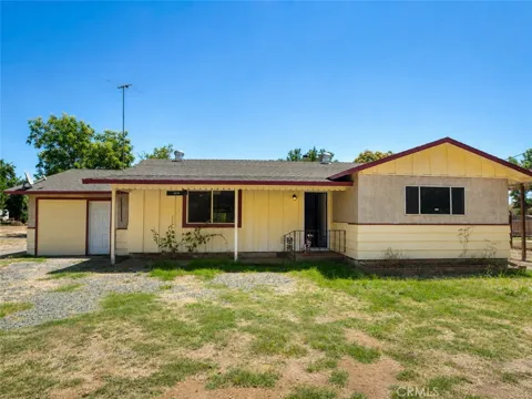
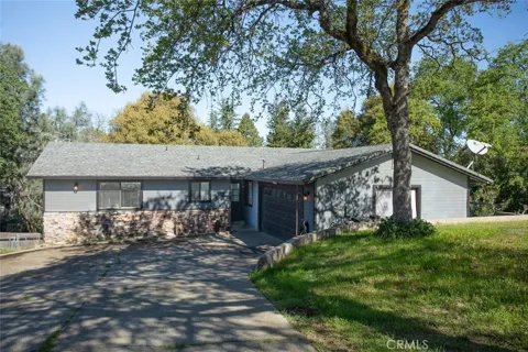
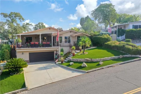
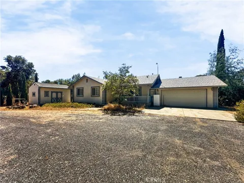
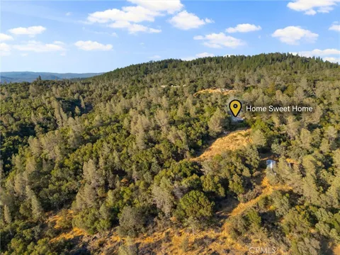
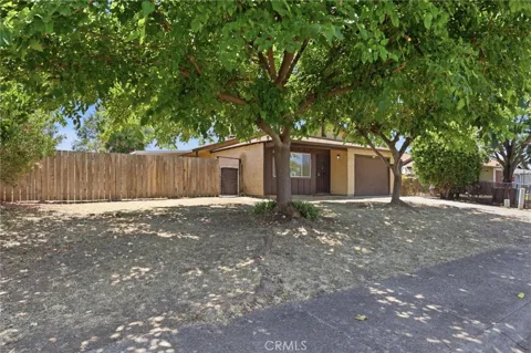
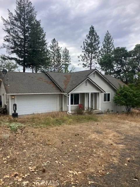
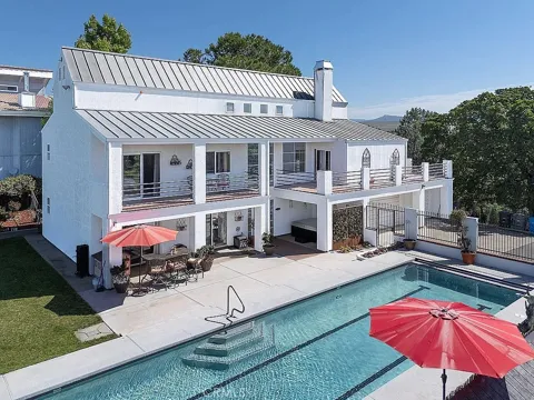
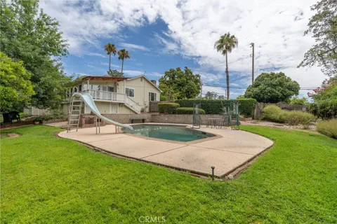
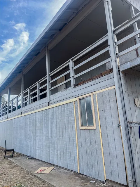
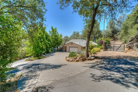
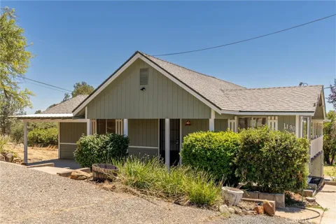
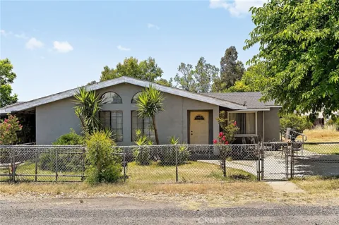
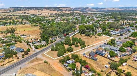
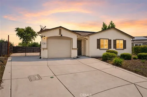
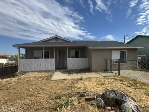
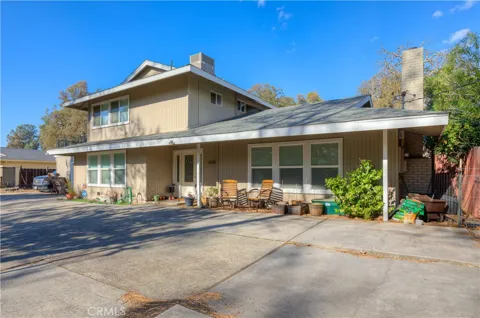
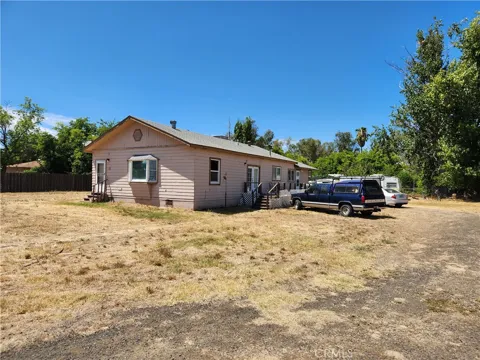
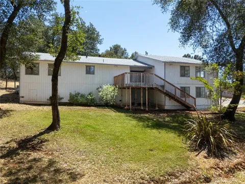
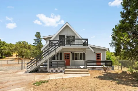
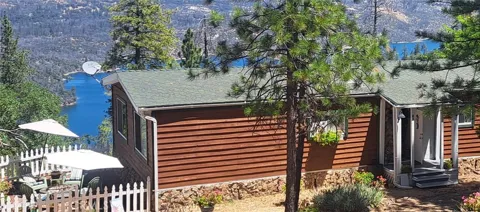
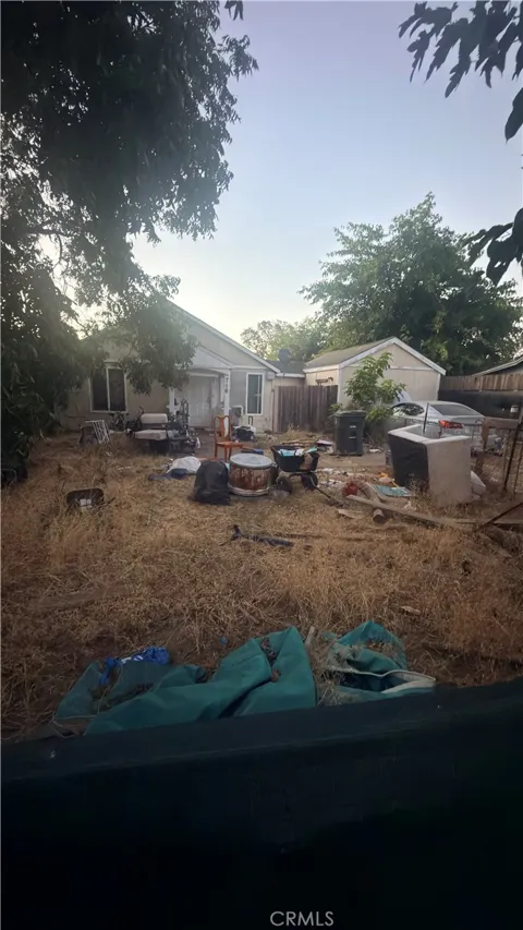
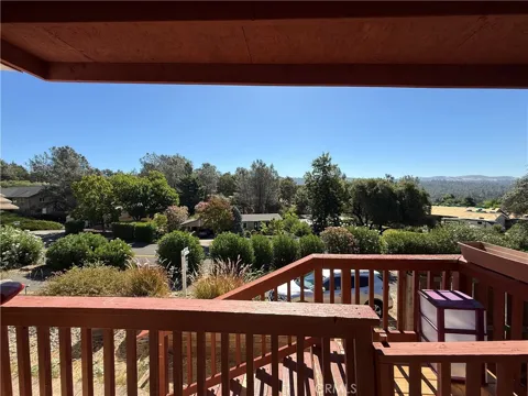
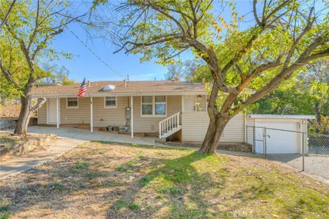
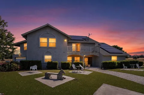
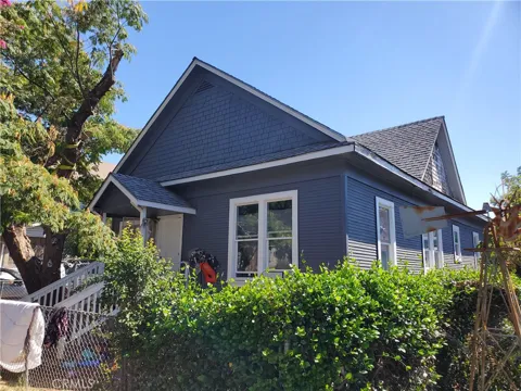
Oroville's housing stock reflects its long history and its affordability. The downtown holds early-20th-century and Victorian-era homes near the historic courthouse and commercial district, while mid-century ranch houses and modest single-family neighborhoods spread across the valley floor. Toward the foothills and the Feather River's edge, properties grow larger and more rural, with some acreage and hillside homes offering views of the Sierra Nevada. Housing is among the more attainable in Northern California, making Oroville a landing point for first-time buyers, retirees, and households priced out of Chico and the Sacramento region, though much of the older stock reflects the area's modest economic profile.
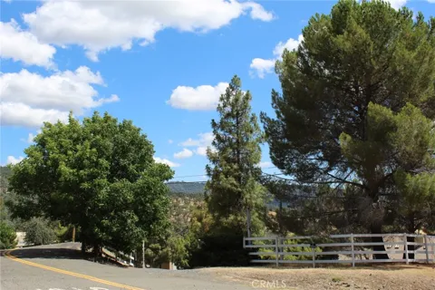
Oroville's neighborhoods radiate from its downtown and the Feather River. The historic core, anchored by the Butte County courthouse, holds the city's oldest homes and storefronts, with tree-lined streets from its Gold Rush and early-20th-century boom. Residential neighborhoods spread across the valley floor to the west and south, mixing mid-century subdivisions with older housing. Along the river and toward the foothills, homes become more spread out, with rural lots and hillside parcels. The adjacent community of Thermalito and the lake's recreation areas lie just beyond the city, giving Oroville's residential landscape a blend of historic downtown, suburban streets, and open foothill country.
Oroville offers a small-town, outdoors-oriented lifestyle with deep Gold Rush roots. Life centers on the Feather River, the county government, and a downtown of historic storefronts and community events. Residents spend free time on Lake Oroville and the Feather River, fishing, boating, hiking, and riding the region's extensive trail systems. The city's affordability relative to the rest of California makes it a practical choice for working families and retirees, while the nearby foothills and canyon provide year-round outdoor access. Sacramento and Chico — the latter a regional hub with a university and larger amenities — are within reach by highway, but daily life stays unhurried and community-scaled.
Oroville's secondary students are served by the Oroville Union High School District, which enrolls about 2,200 students in the greater Oroville area and operates the city's high schools and related programs. Elementary and middle-school students attend a set of elementary school districts within Oroville and the surrounding communities. Butte College, part of the Butte-Glenn Community College District with its main campus near the city, provides higher education and workforce training. The district structure reflects Oroville's role as a regional education center for southern Butte County, serving both the city and the foothill and rural communities that surround it.
Oroville sits along State Route 70, the "Feather River Highway," which runs through the city and climbs northeast through the scenic Feather River Canyon toward Quincy and U.S. 395 near the Nevada line. This corridor is both a commuter route and a gateway to the northern Sierra. To the south and west, state highways connect Oroville to Chico, Yuba City, and Interstate 5, while Sacramento lies about 75 miles south. The historic Feather River rail route parallels the highway through the canyon, underscoring the city's long role as a transportation and supply hub. Within the city, travel is car-oriented, reflecting its valley-town scale.
Lake Oroville is the center of the area's recreation. The state recreation area surrounds the reservoir, offering family, group, and equestrian camping, boating, water-skiing, swimming, and some of the region's best bass fishing, along with an extensive network of hiking, biking, and equestrian trails. The Feather River adds fishing, rafting, and riverside parks, while the Thermalito Afterbay provides additional shoreline. The city's position at the foot of the Sierra Nevada puts mountain trails, the Feather River Canyon, and Gold Rush-era historic sites within easy reach. For residents, the lake and river function as an everyday outdoor resource rather than a weekend destination.
MARKET SNAPSHOT
How homes have been selling here over the last 90 days.
Market data reflects closed sales over the last 90 days and is provided for informational purposes.
BROWSE BY ZIP
Browse listings by postal code in this area.