Sacramento Delta Community
Welcome to Oakley, a Contra Costa County city in the Sacramento-San Joaquin Delta, where Bay Area suburbia meets open water and shoreline parkland.
Oakley is a city in eastern Contra Costa County, California, set where the outer reaches of the San Francisco Bay Area meet the Sacramento-San Joaquin River Delta, the vast inland waterway system that drains much of Northern California. With a population of roughly 45,000, it is one of the newer and faster-growing cities in the county, having incorporated in 1999 after decades as an unincorporated agricultural community. As recently as the 1970s, Oakley was a farming town of about 3,000 residents; today it is a suburban city whose growth has been driven by more attainable housing and by its position at the edge of the Bay Area. The Delta defines Oakley's character. Big Break Regional Shoreline, a 1,648-acre park on the city's northern edge, preserves a portion of the Delta where a levee breach a century ago created an open-water basin now used for paddling, fishing, birding, and nature study. The park's Delta Visitor Center interprets the ecology and history of the Sacramento-San Joaquin Delta and serves as a launching point for kayaks and small boats. This direct water access gives Oakley a recreational identity that many Bay Area suburbs lack, connecting residents to one of the state's most distinctive landscapes. The city's housing is dominated by newer single-family subdivisions built during its post-incorporation expansion, arranged around schools, parks, and neighborhood shopping, with older rural properties still scattered along its edges. Oakley's schools operate through the Oakley Union Elementary School District for grades K-8 and the Liberty Union High School District for secondary students, anchoring a strongly family-oriented community. Transportation ties Oakley to the wider region. State Route 4 and Highway 160 connect the city to Antioch, Concord, and the BART system, and the broader highway network places the Bay Area's job centers within commuting distance. For residents, Oakley offers a combination of newer suburban housing, Delta recreation, and a location that remains within reach of the region's economy — a working community that still feels connected to the farmland and waterways from which it grew.
Oakley is in Contra Costa County, California, in the eastern part of the county at the edge of the Sacramento-San Joaquin River Delta. It is near the cities of Antioch and Brentwood.
Oakley incorporated as a city in 1999, making it one of California's newer incorporated cities. It grew from a small agricultural community of about 3,000 residents in the 1970s into a suburban city of roughly 45,000 people.
Oakley is served by the Oakley Union Elementary School District for grades K-8 and the Liberty Union High School District for high school. Portions of the city also fall within the Knightsen and Brentwood elementary districts and the Antioch Unified School District.
Big Break Regional Shoreline is a 1,648-acre East Bay Regional Park in Oakley, located on the Sacramento-San Joaquin Delta. It features a Delta Visitor Center, fishing access, and launch points for kayaks and small boats, and it preserves an open-water basin formed by an early levee break.
Oakley is connected to the wider Bay Area by State Route 4, which leads west to Antioch, Concord, and the BART system. Many residents commute by car or drive to BART for rail access to San Francisco and other regional job centers, making the commute a central part of daily life.
City Guide
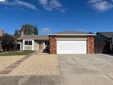
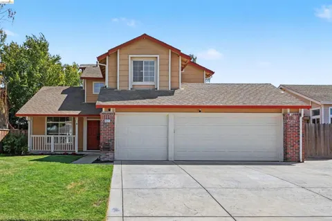
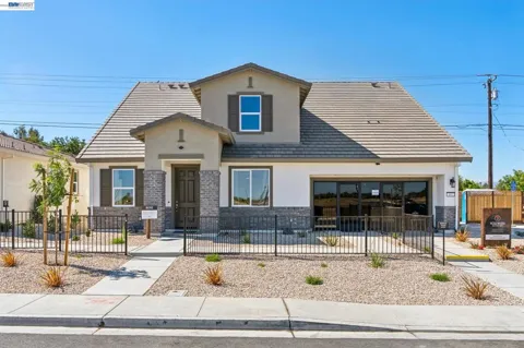
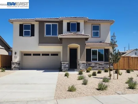
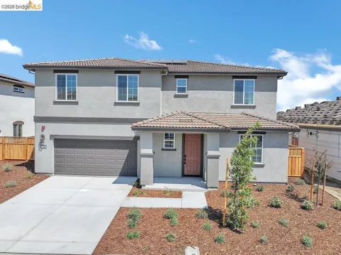
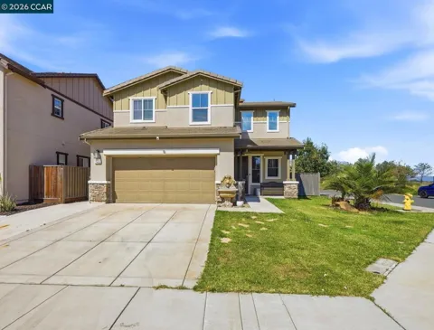
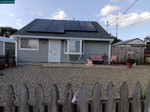
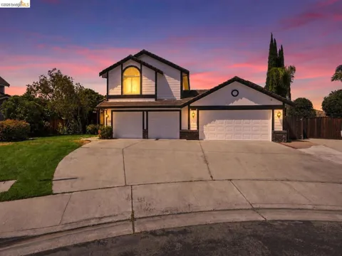
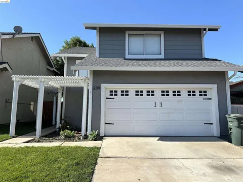
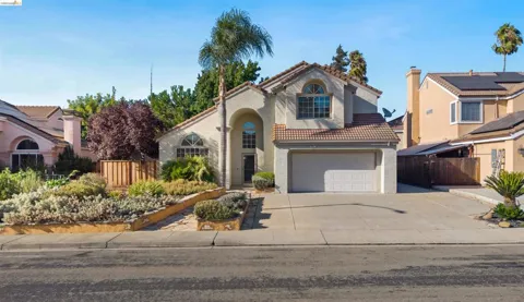
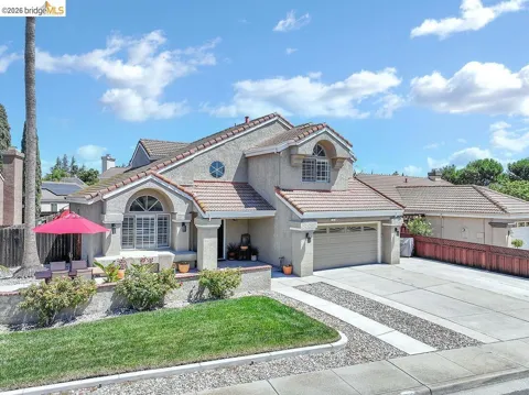
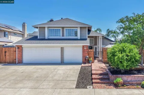
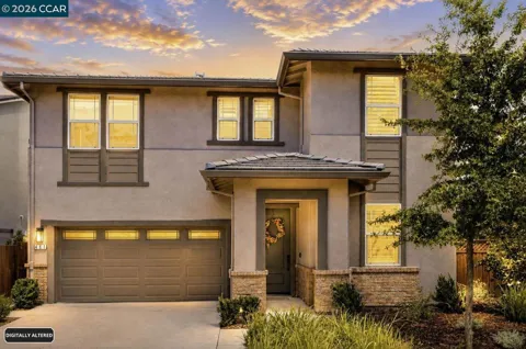
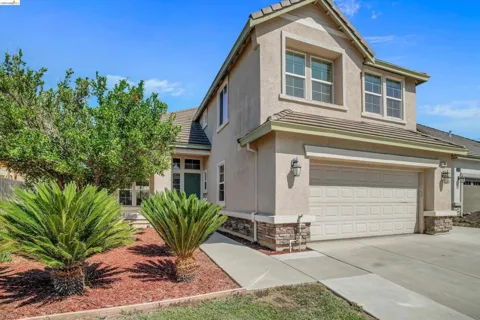
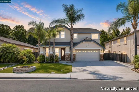
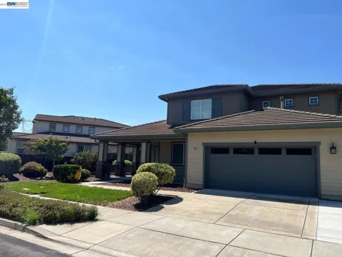
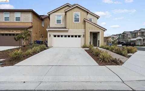
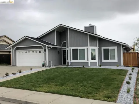
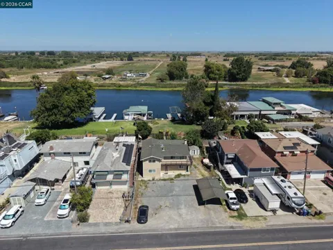
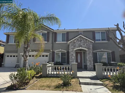
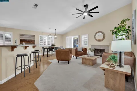
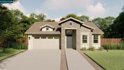
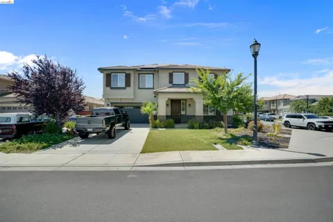
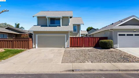
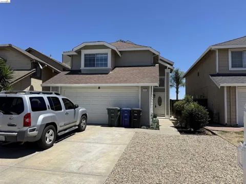
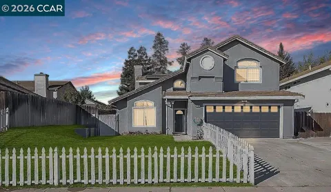
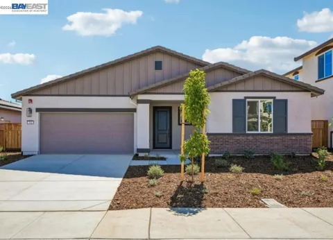
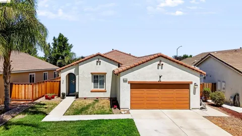
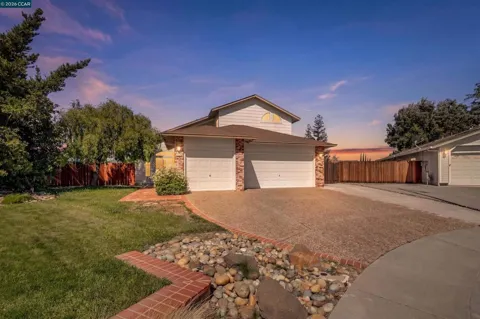
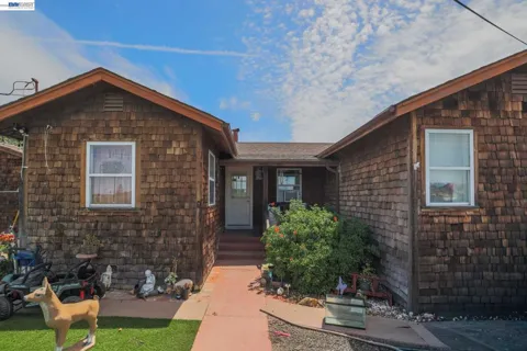
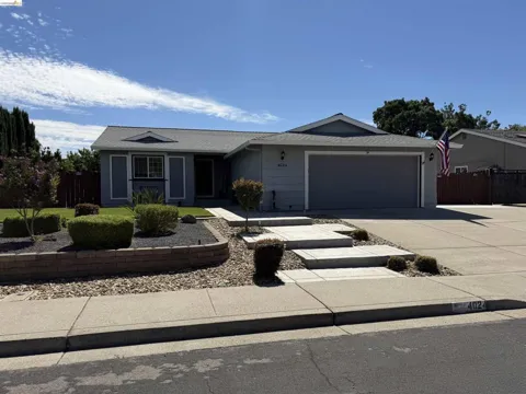
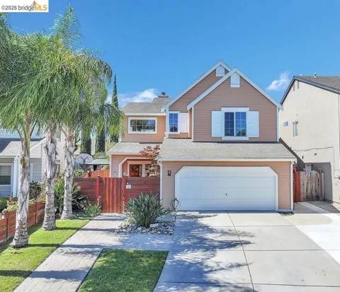
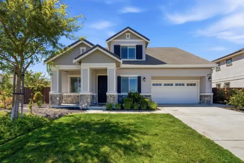
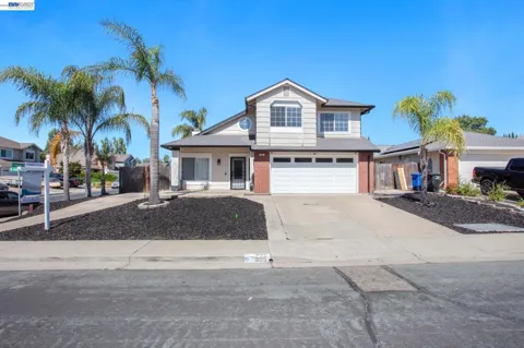
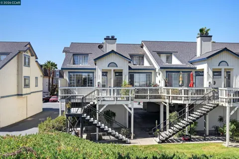
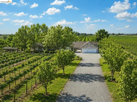
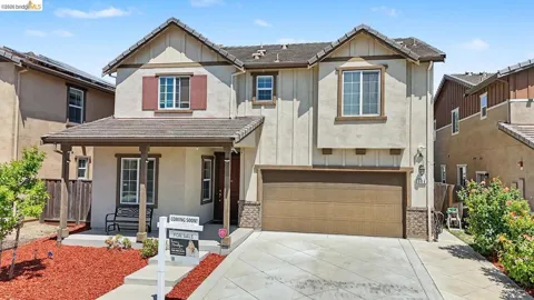
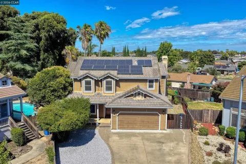
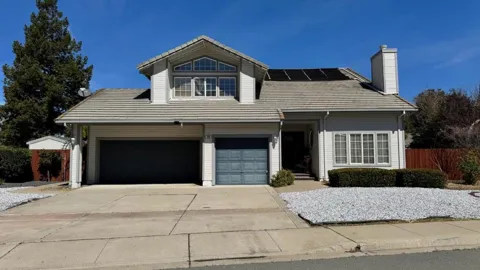
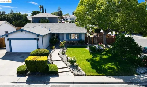
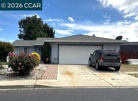
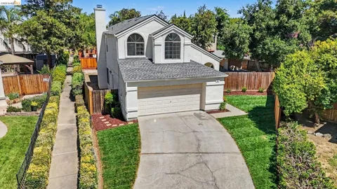
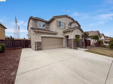
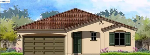
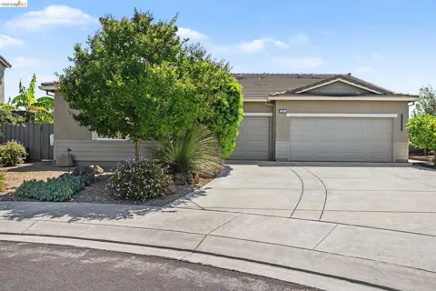
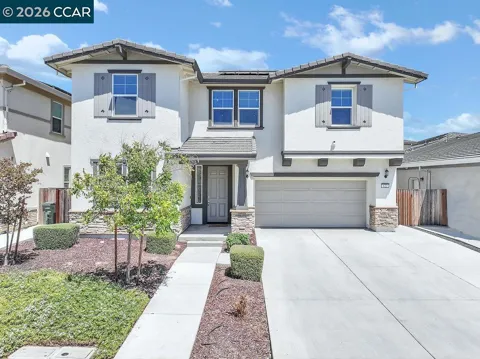
Oakley's housing stock is dominated by newer single-family subdivisions, most built during the city's rapid expansion following incorporation in 1999. These neighborhoods feature contemporary tract homes on modest-to-mid-sized lots, arranged around parks and schools in the classic East Contra Costa pattern. Around the edges of the city and along its older corridors, remnants of Oakley's agricultural past remain, including homes on larger rural parcels and a scattering of older ranch properties. Newer master-planned areas have added amenities and community facilities. The overall character is suburban and family-oriented, with a younger housing stock than most of the Bay Area and a continuing supply of detached single-family homes.
Oakley's neighborhoods are largely the product of its late-20th-century suburban growth, with residential subdivisions spreading across former farmland in a connected grid of streets, parks, and schools. The city's newer master-planned communities cluster around neighborhood shopping centers and community facilities, while the older, more central areas retain a mix of mid-century homes and rural parcels that recall the town's agricultural origins. Along the northern edge, neighborhoods look toward the Delta and Big Break Regional Shoreline. The city is not sharply divided into historic named districts so much as arranged by era of development, giving Oakley a consistent, family-centered residential fabric.
Oakley's lifestyle is suburban and family-focused, with a distinct outdoor dimension drawn from the Delta. Weekends revolve around youth sports, parks, and neighborhood life, while Big Break Regional Shoreline draws residents for paddling, fishing, birding, and walks along the water. The city's newer retail and dining options concentrate along its commercial corridors, with larger shopping nearby in Antioch and Brentwood. A strong community identity has formed around the schools and the city's relatively recent incorporation, giving Oakley a sense of self among its East Contra Costa neighbors. For residents, the appeal is a newer home, room to grow, and direct access to the Delta's open water.
Oakley's public schools are divided between two districts by grade level. The Oakley Union Elementary School District serves most of the city for kindergarten through eighth grade, while secondary students attend the Liberty Union High School District, which also serves neighboring communities. Portions of the city fall within the Knightsen and Brentwood elementary districts and the Antioch Unified School District, reflecting Oakley's growth across former district boundaries. The schools are central to community life in a city that has expanded rapidly around families, and the districts have added campuses as the population has grown. For relocating families, the multi-district structure is a practical consideration when choosing a neighborhood.
Oakley sits at the eastern edge of the Bay Area's road network, connected by State Route 4 and Highway 160. State Route 4 runs westward toward Antioch, Concord, and the BART system, the primary transit link to the wider region, while Highway 160 follows the Delta north toward Rio Vista and Sacramento. Commuting to Bay Area job centers is a defining part of life for many residents, with the highway and BART connections forming the daily backbone. The city's newer street network is designed around automobile travel, and the Delta's levee roads provide scenic but slower routes. Oakley's location trades longer commutes for larger, more affordable housing in a connected suburb.
Big Break Regional Shoreline is Oakley's signature recreational asset, a 1,648-acre East Bay Regional Park on the Delta with a visitor center, fishing pier, and launch access for kayaks and small boats. The park preserves an open-water basin created by a levee break, and its trails and viewing areas are popular for birding and nature study. The surrounding Delta waterways offer boating and fishing across a vast network of channels and sloughs. Within the city, neighborhood parks, sports fields, and community facilities serve the family-oriented population. For residents, the combination of suburban parks and direct access to the Delta makes Oakley distinct among East Contra Costa communities.
MARKET SNAPSHOT
How homes have been selling here over the last 90 days.
Market data reflects closed sales over the last 90 days and is provided for informational purposes.
BROWSE BY ZIP
Browse listings by postal code in this area.